Cette page rassemble le cadastre napoléonien de Lusanger (Loire Atlantique), c'est-à-dire l'ensemble des archives cadastrales anciennes de la commune numérisées par les Archives départementales. Le plan cadastral ancien de Lusanger compte 112 feuilles : un tableau d'assemblage donnant la vue d'ensemble du territoire communal, puis le détail de chaque section cadastrale (sections A, B, C, D, E, F, G, H, I, TA).
Les 112 feuilles du cadastre ancien de Lusanger
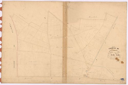
I Lusanger - Section I3 Bourg (section du) ; 716-924
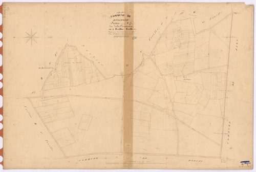
G Lusanger - Section G1 Vinouais (section de La) ; 1-226
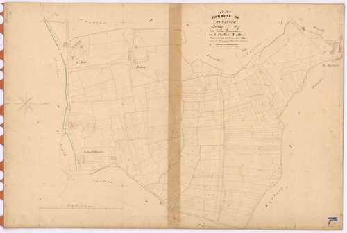
F Lusanger - Section F1 Sausais (section de La) ; 1-289
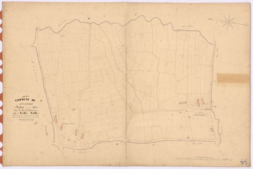
B Lusanger - Section B4 Galotière (section de La) ; 1139-1407
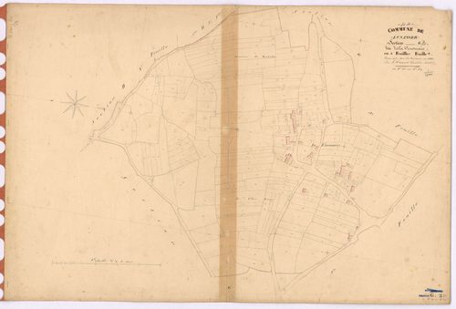
G Lusanger - Section G2 Vinouais (section de La) ; 227-487
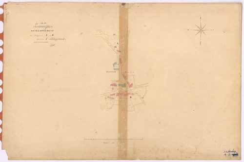
I Lusanger - Section I3 I4 (développement) Bourg (section du) ; 716-924 ; 925-1282 ; développement du Bourg
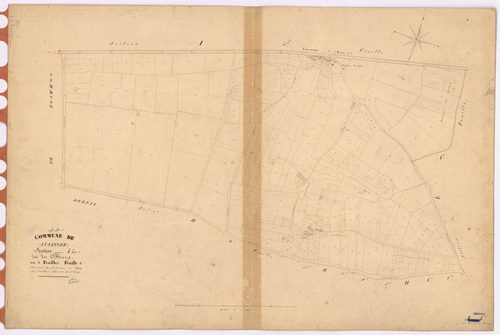
I Lusanger - Section I4 Bourg (section du) ; 925-1282
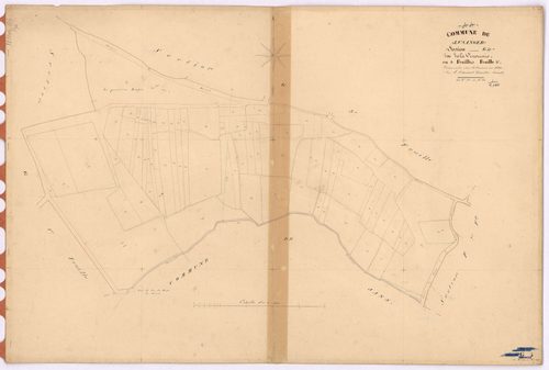
G Lusanger - Section G4 Vinouais (section de La) ; 782-860
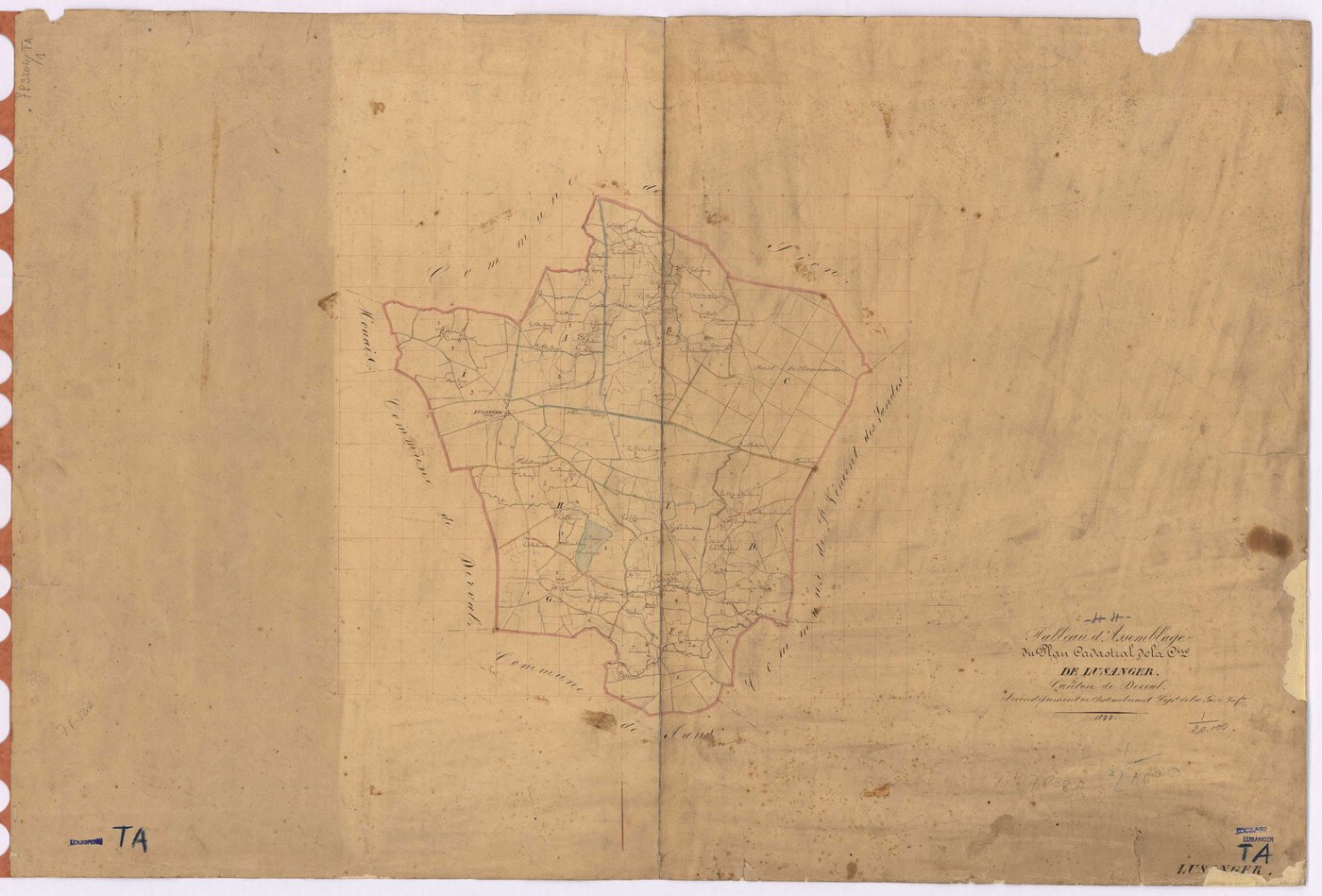
TA Lusanger - TA
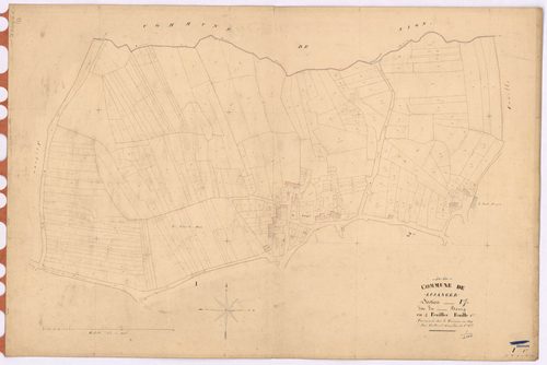
I Lusanger - Section I1 Bourg (section du) ; 1-322
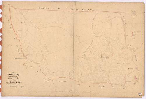
D Lusanger - Section D2 Couétoux (section de) ; 232-601
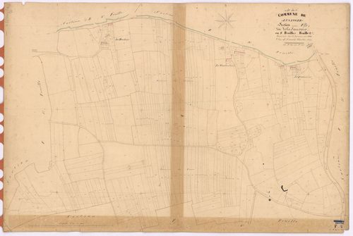
F Lusanger - Section F2 Sausais (section de La) ; 290-638
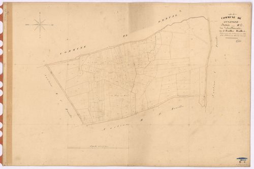
H Lusanger - Section H6 Chaussée (section de La) ; 1057-1225
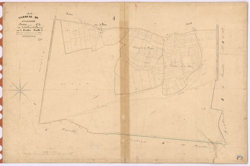
A Lusanger - Section A3 Rue du Bourg (section de La) ; 813-1018
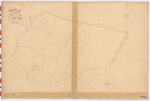
D Lusanger - Section D1 Couétoux (section de) ; 1-231
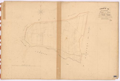
F Lusanger - Section F4 Sausais (section de La) ; 839-914
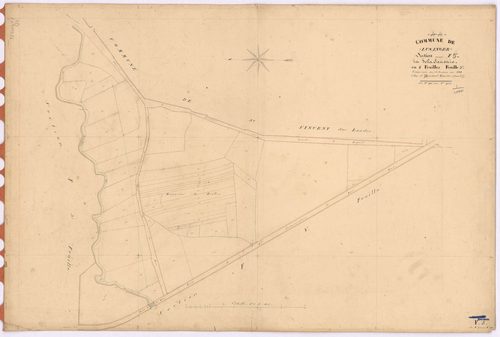
F Lusanger - Section F5 Sausais (section de La) ; 915-964
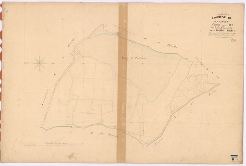
H Lusanger - Section H3 Chaussée (section de La) ; 571-620
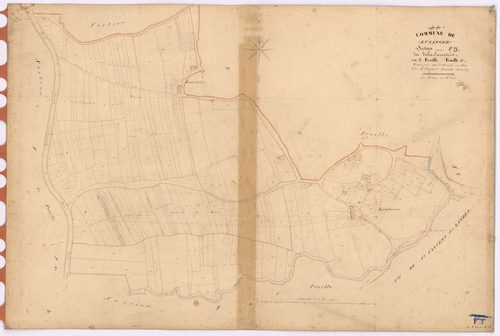
F Lusanger - Section F3 Sausais (section de La) ; 639-838
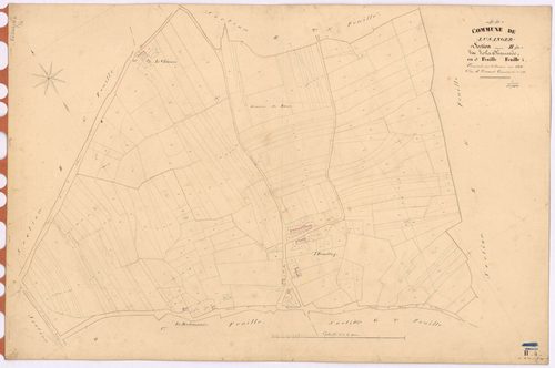
H Lusanger - Section H4 Chaussée (section de La) ; 621-899
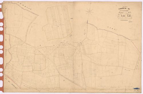
I Lusanger - Section I2 Bourg (section du) ; 323-715
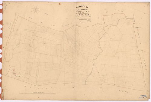
H Lusanger - Section H5 Chaussée (section de La) ; 900-1056
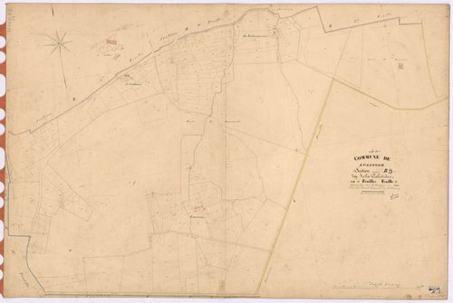
B Lusanger - Section B3 Galotière (section de La) ; 955-1138
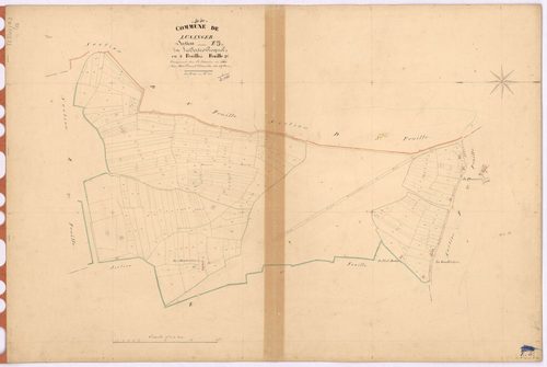
E Lusanger - Section E3 Tertre-Gicquel (section du) ; 205-455
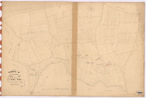
F Lusanger - Section F6 Sausais (section de La) ; 965-1272
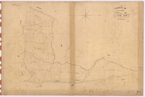
A Lusanger - Section A1 Rue du Bourg (section de La) ; 1-202
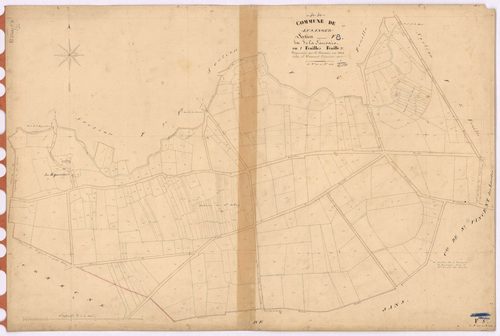
F Lusanger - Section F8 Sausais (section de La) ; 1528-1823
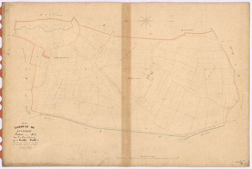
D Lusanger - Section D3 Couétoux (section de) ; 602-803
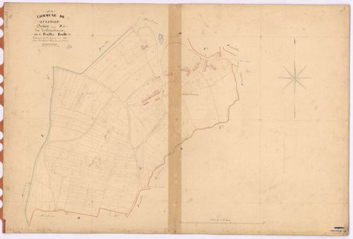
D Lusanger - Section D4 Couétoux (section de) ; 804-1030
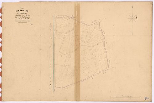
B Lusanger - Section B5 Galotière (section de La) ; 1408-1533
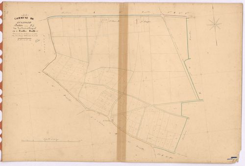
E Lusanger - Section E1 Tertre-Gicquel (section du) ; 1-129
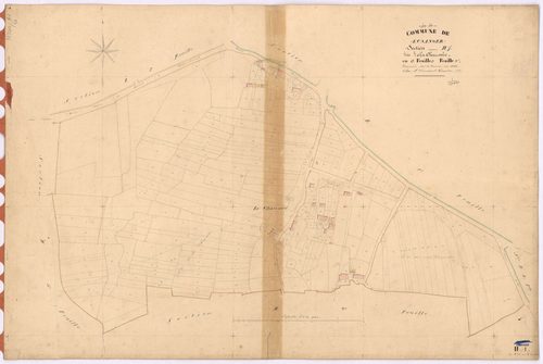
H Lusanger - Section H1 Chaussée (section de La) ; 1-303
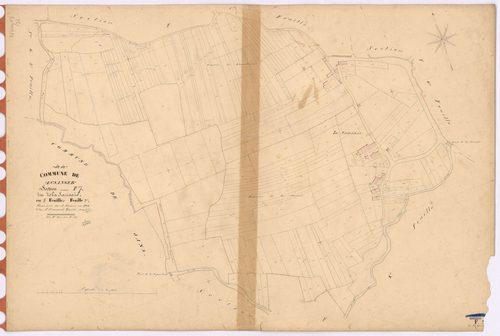
F Lusanger - Section F7 Sausais (section de La) ; 1273-1527
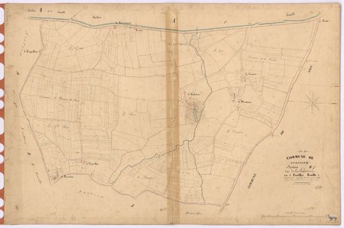
B Lusanger - Section B1 Galotière (section de La) ; 1-466
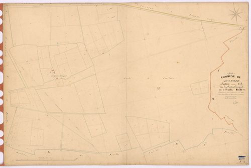
E Lusanger - Section E2 Tertre-Gicquel (section du) ; 130-204
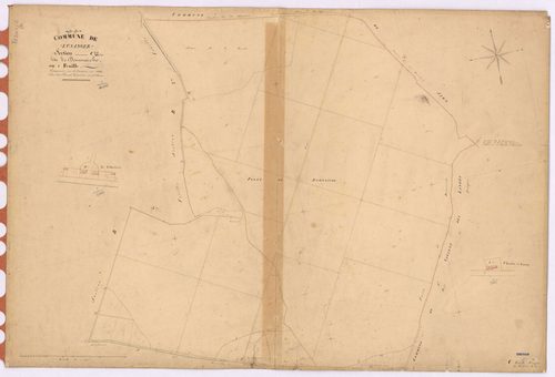
C Lusanger - Section C Domnaiche (section de) ; 1-60
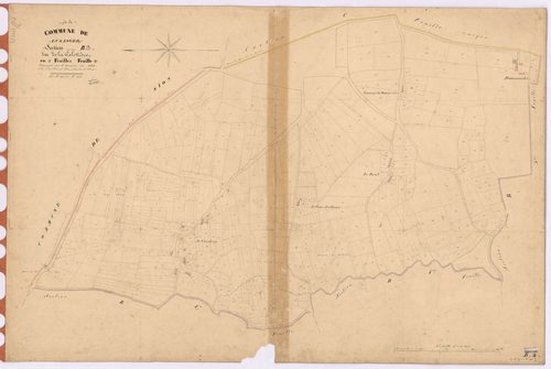
B Lusanger - Section B2 Galotière (section de La) ; 467-954
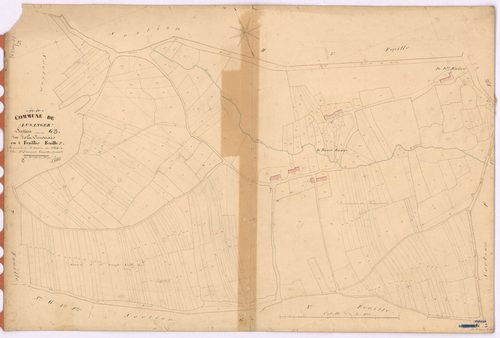
G Lusanger - Section G3 Vinouais (section de La) ; 488-781
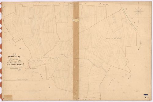
H Lusanger - Section H2 Chaussée (section de La) ; 304-570
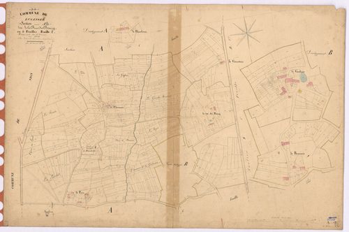
A Lusanger - Section A2 Rue du Bourg (section de La) ; 203-812
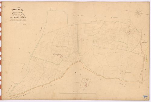
E Lusanger - Section E4 Tertre-Gicquel (section du) ; 456-830
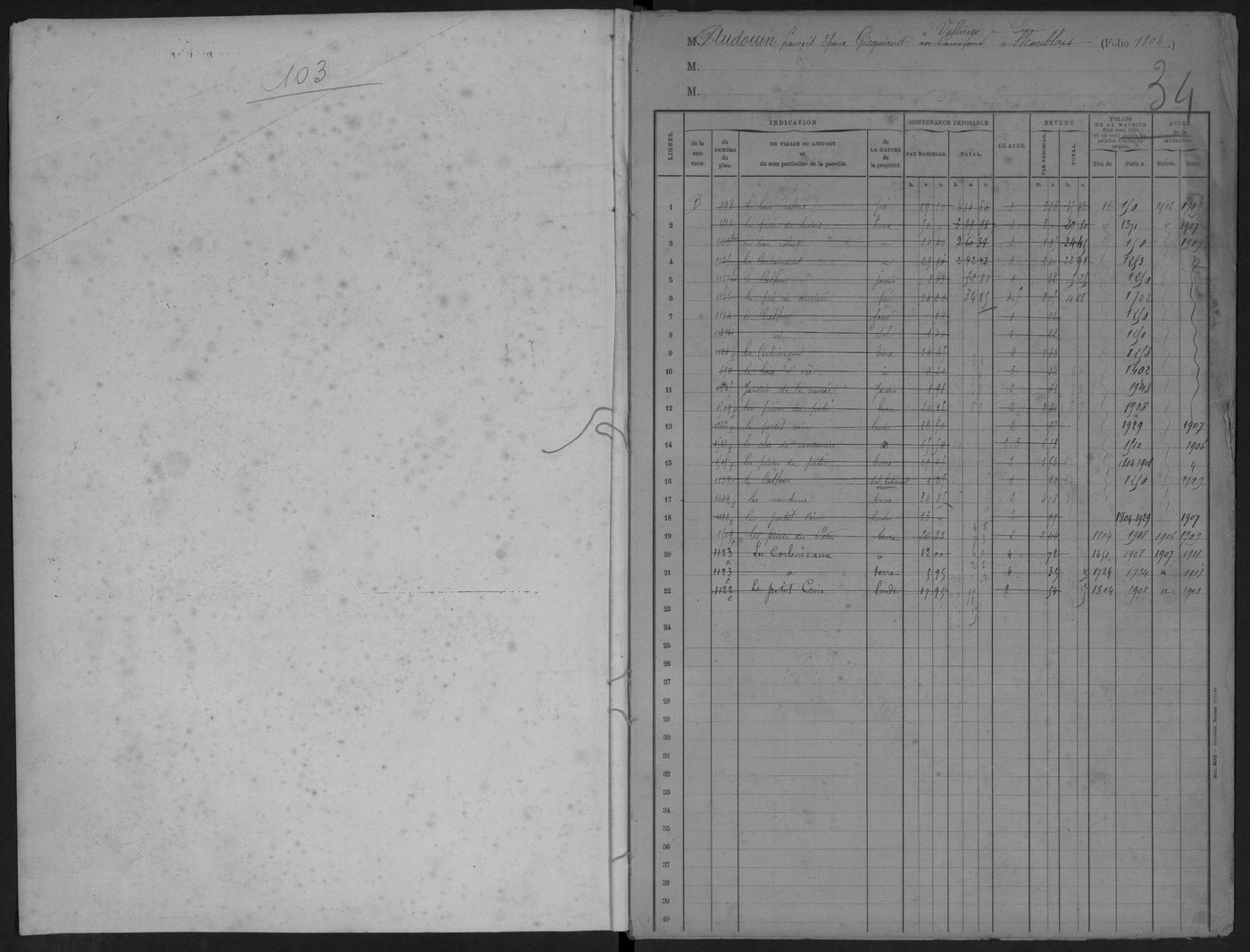
TA Lusanger -
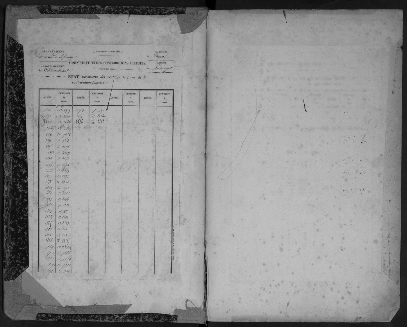
TA Lusanger -
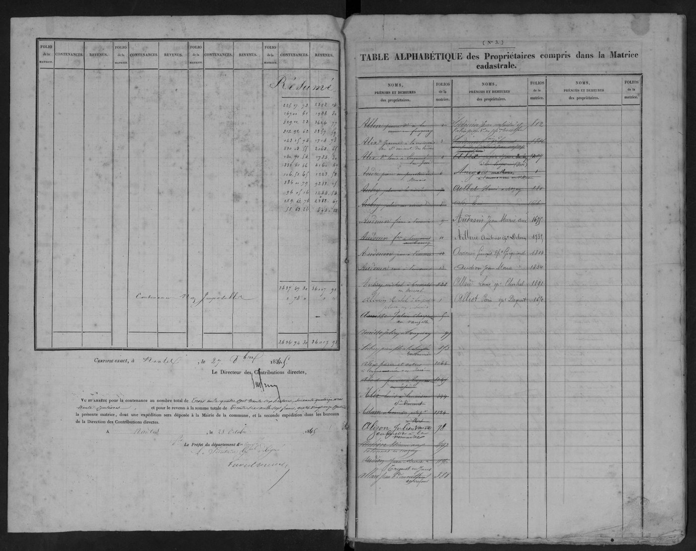
TA Lusanger -
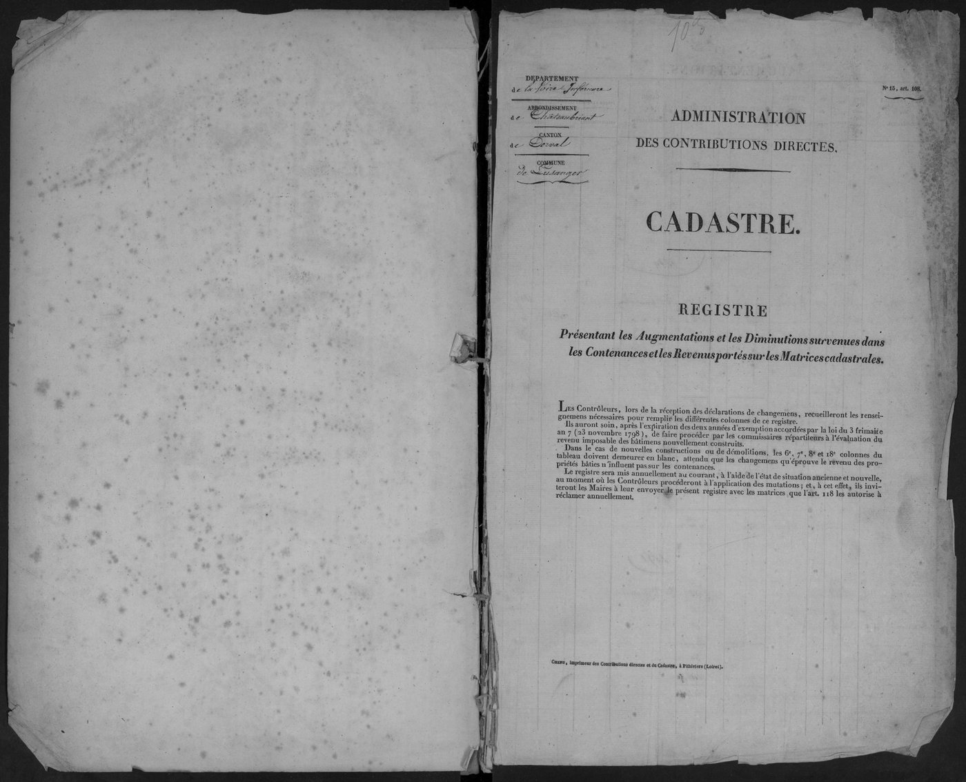
TA Lusanger -
TA Lusanger -
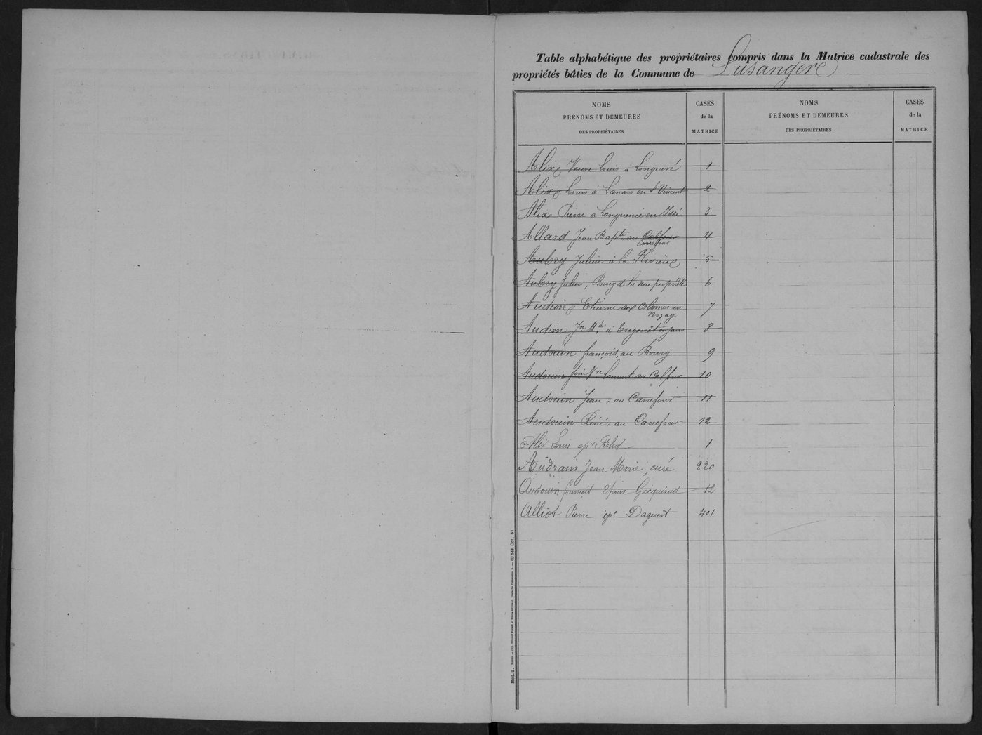
TA Lusanger -
TA Lusanger -
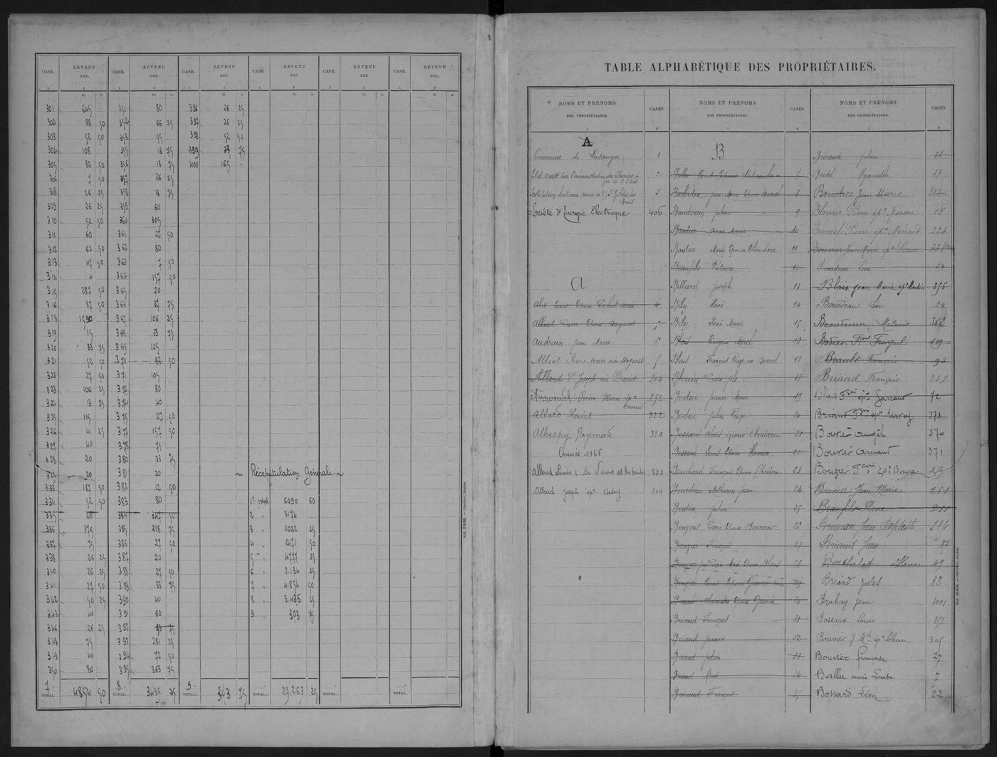
TA Lusanger -
TA Lusanger -
TA Lusanger -
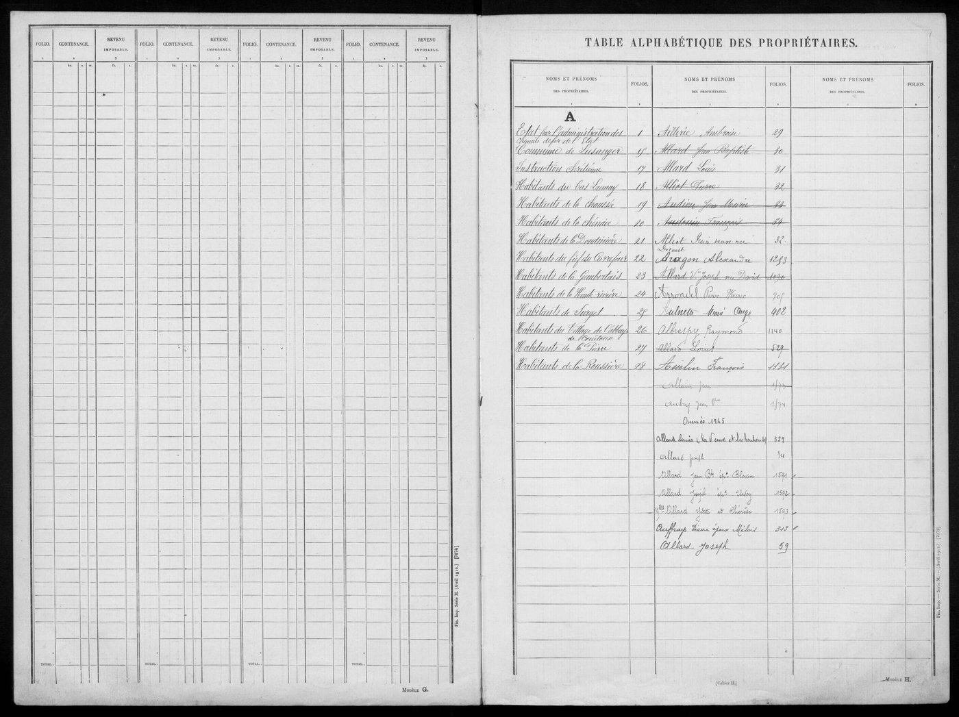
TA Lusanger -
TA Lusanger -
TA Lusanger -
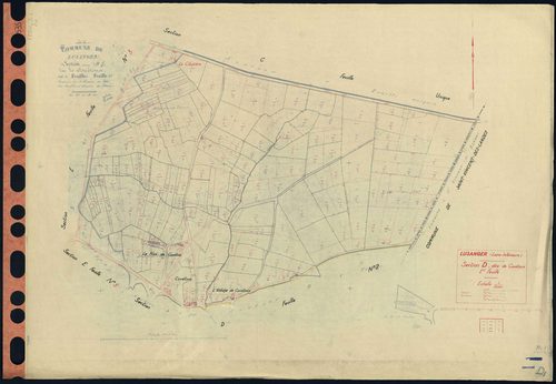
D Lusanger - Section D1 Couétoux (section de) . 1-201
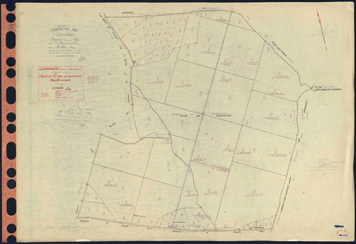
C Lusanger - Section C Domnaiche (section de) . 1-117
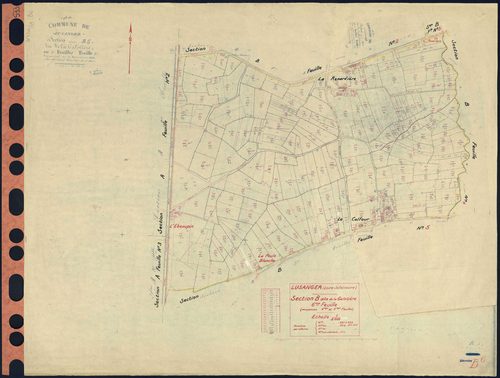
B Lusanger - Section B6 Galotière (section de La) . 691-922
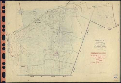
B Lusanger - Section B5 Galotière (section de La) . 551-690
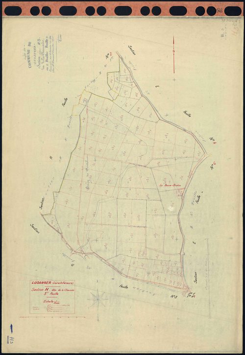
H Lusanger - Section H3 Chaussée (section de La) . 669-763
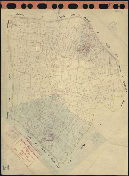
H Lusanger - Section H2 Chaussée (section de La) . 153-668
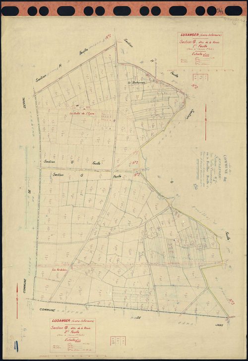
G Lusanger - Section G1 G2 Vinois (section de La) . 1-89 . 90-222
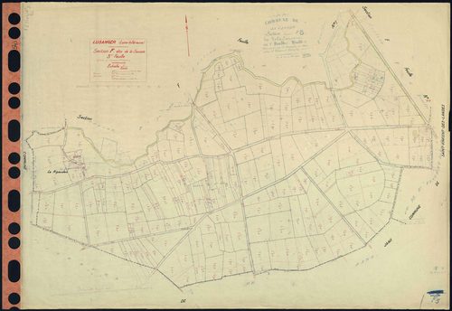
F Lusanger - Section F3 Sauzaie (section de La) . 679-910
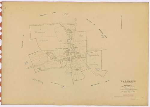
I Lusanger - Section I3 Vieux Bourg (section du) ; 709-788
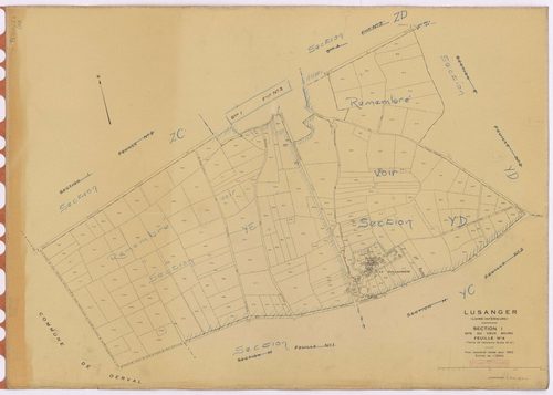
I Lusanger - Section I4 Vieux Bourg (section du) ; 789-1014
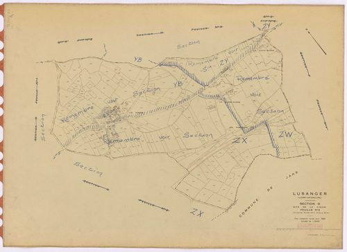
G Lusanger - Section G3 Vinois (section de La) ; 223-509
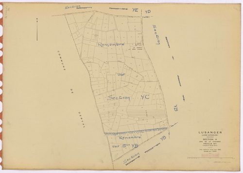
H Lusanger - Section H1 Chaussée (section de La) ; 1-152
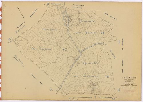
H Lusanger - Section H2 Chaussée (section de La) ; 153-668
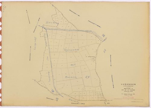
H Lusanger - Section H3 Chaussée (section de La) ; 669-763
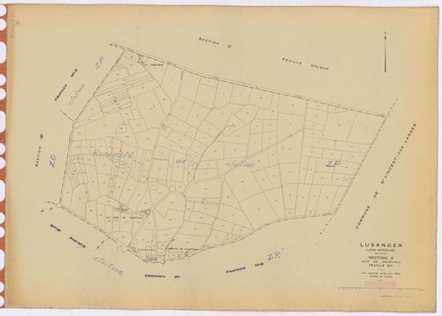
D Lusanger - Section D1 Couétoux (section de) ; 1-201
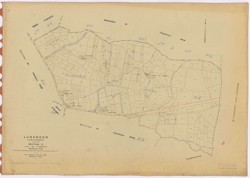
D Lusanger - Section D3 Couétoux (section de) ; 461-699
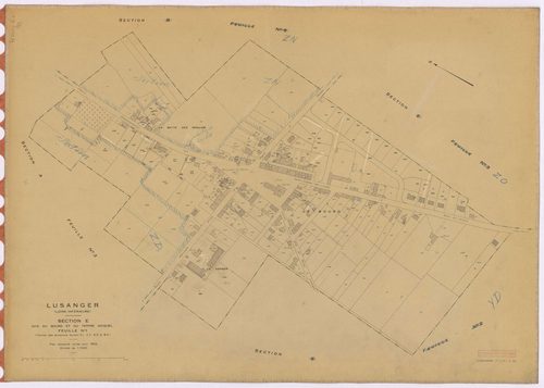
E Lusanger - Section E1 Bourg et Tertre Gicquel (section du) ; 1-180
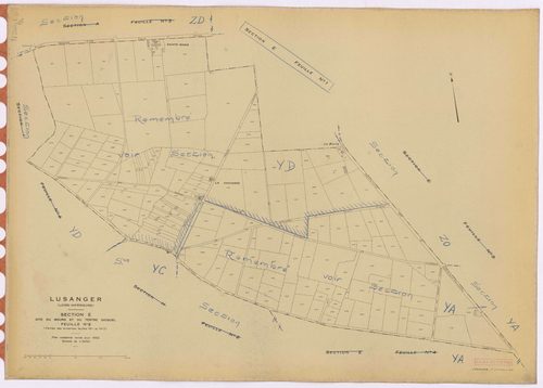
E Lusanger - Section E2 Bourg et Tertre Gicquel (section du) ; 181-358
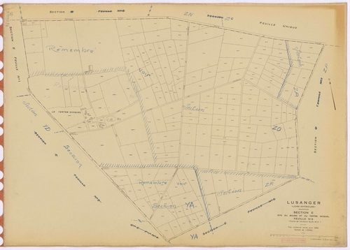
E Lusanger - Section E3 Bourg et Tertre Gicquel (section du) ; 359-560
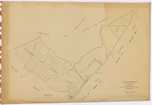
A Lusanger - Section A1 Rue du Bourg (section de La) ; 1-108
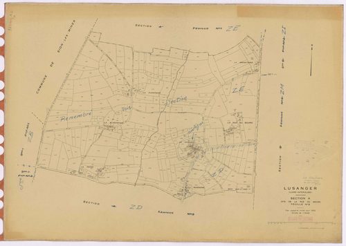
A Lusanger - Section A2 Rue du Bourg (section de La) ; 109-439
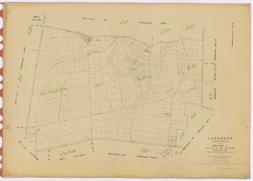
A Lusanger - Section A3 Rue du Bourg (section de La) ; 440-705
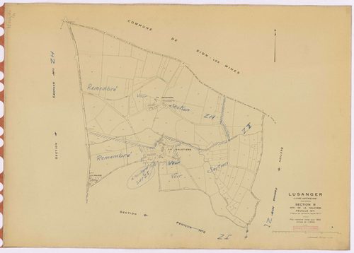
B Lusanger - Section B1 Galotière (section de La) ; 1-125
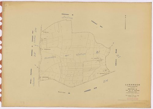
B Lusanger - Section B2 Galotière (section de La) ; 126-245
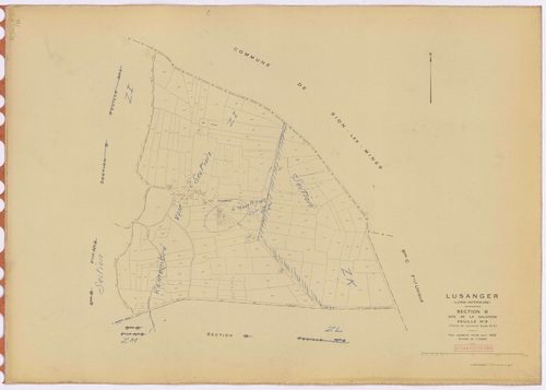
B Lusanger - Section B3 Galotière (section de La) ; 246-427
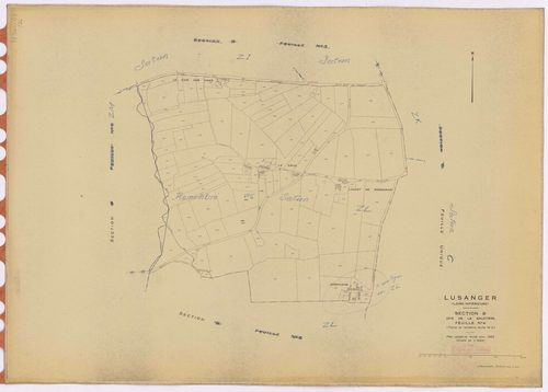
B Lusanger - Section B4 Galotière (section de La) ; 428-550
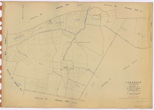
B Lusanger - Section B5 Galotière (section de La) ; 551-690
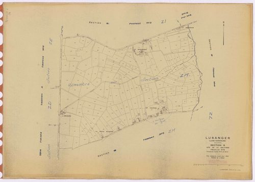
B Lusanger - Section B6 Galotière (section de La) ; 691-922
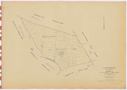
E Lusanger - Section E4 Bourg et Tertre Gicquel (section du) ; 561-654
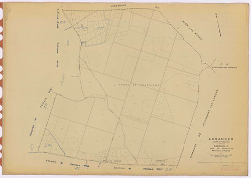
C Lusanger - Section C Domnaiche (section de) ; 1-117
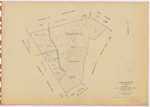
E Lusanger - Section E5 Bourg et Tertre Gicquel (section du) ; 655-797
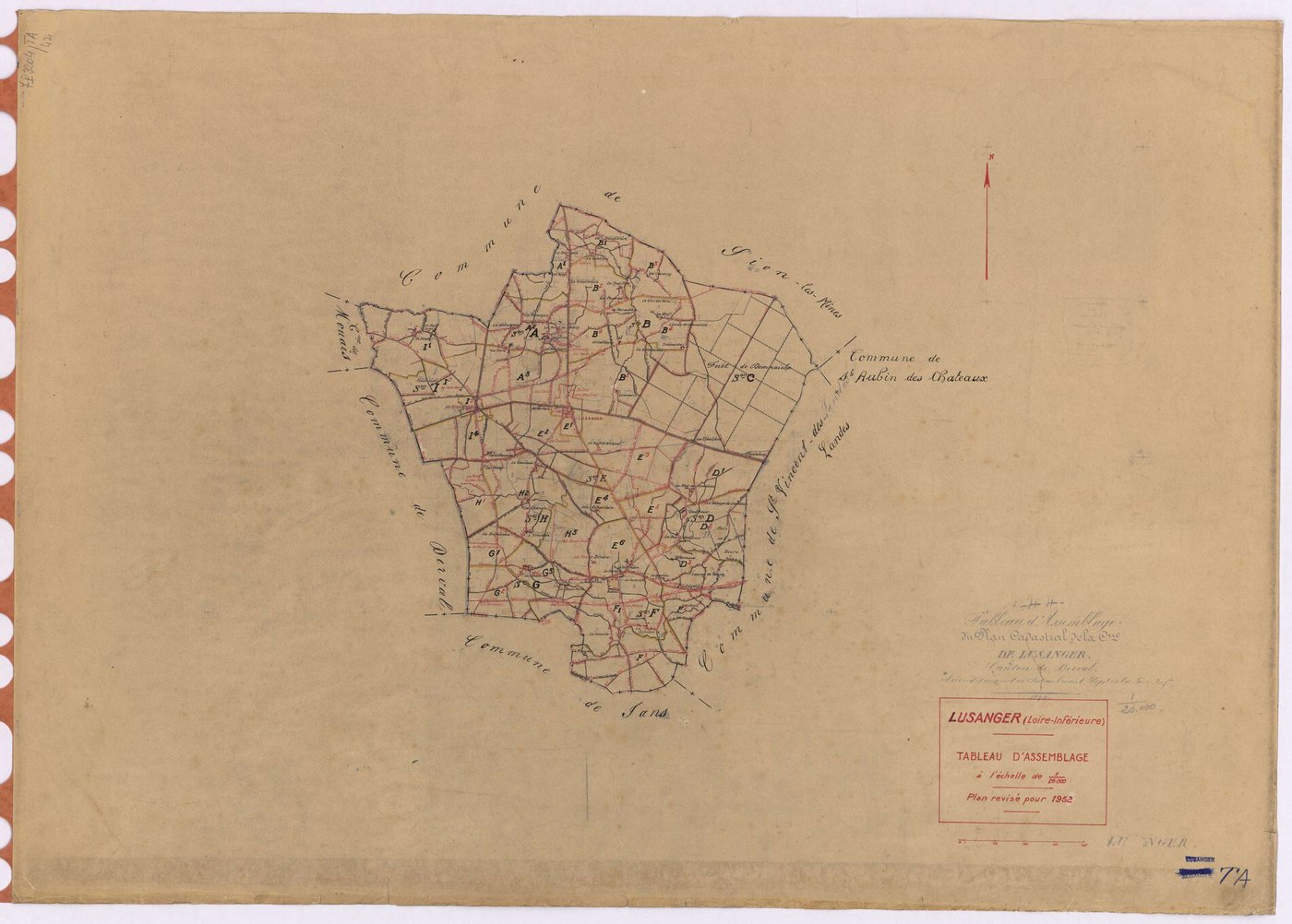
TA Lusanger - TA
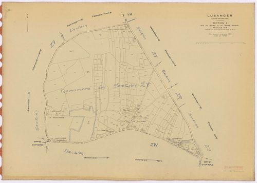
E Lusanger - Section E6 Bourg et Tertre Gicquel (section du) ; 798-977
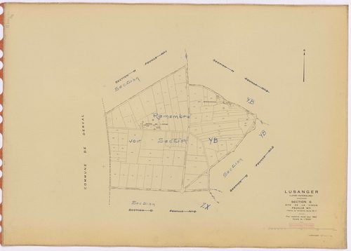
G Lusanger - Section G1 Vinois (section de La) ; 1-89
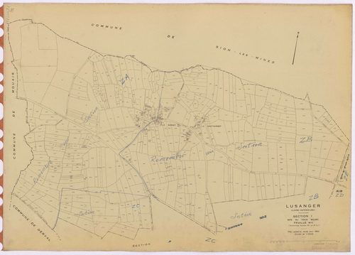
I Lusanger - Section I1 Vieux Bourg (section du) ; 1-486
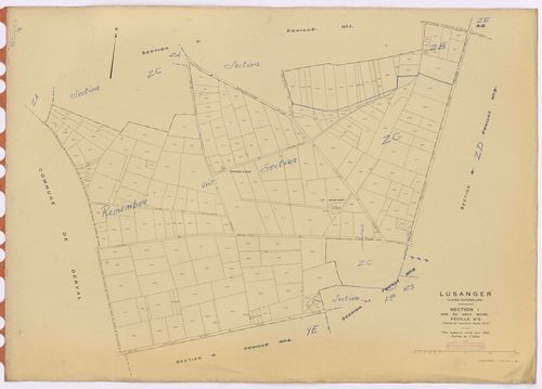
I Lusanger - Section I2 Vieux Bourg (section du) ; 487-708
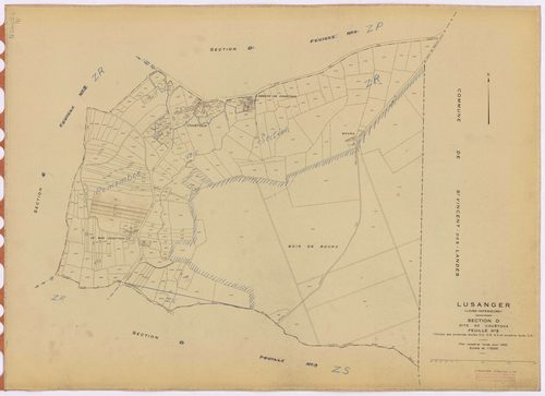
D Lusanger - Section D2 Couétoux (section de) ; 202-460
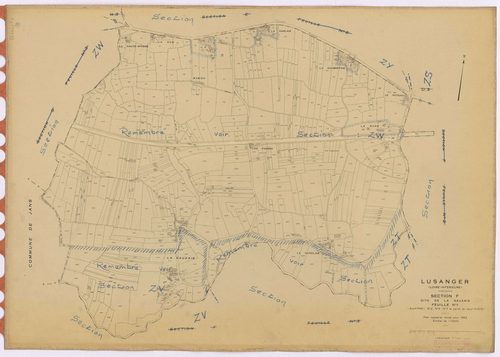
F Lusanger - Section F1 Sauzaie (section de La) ; 1-575
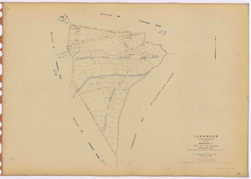
F Lusanger - Section F2 Sauzaie (section de La) ; 576-678
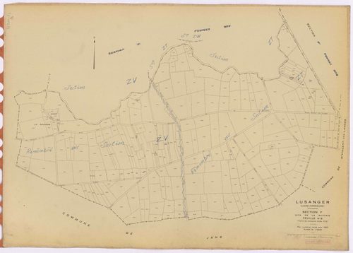
F Lusanger - Section F3 Sauzaie (section de La) ; 679-910
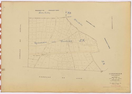
G Lusanger - Section G2 Vinois (section de La) ; 90-222
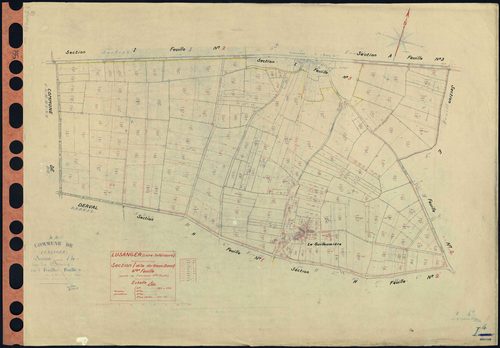
I Lusanger - Section I4 Vieux Bourg (section du) . 789-1014
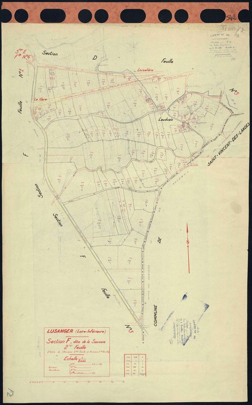
F Lusanger - Section F2 Sauzaie (section de La) . 576-678
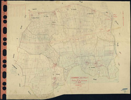
F Lusanger - Section F1 Sauzaie (section de La) . 1-575
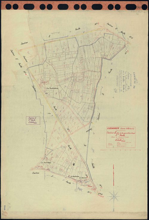
E Lusanger - Section E5 E6 Bourg et Tertre Gicquel (section du) . 655-797 . 798-977
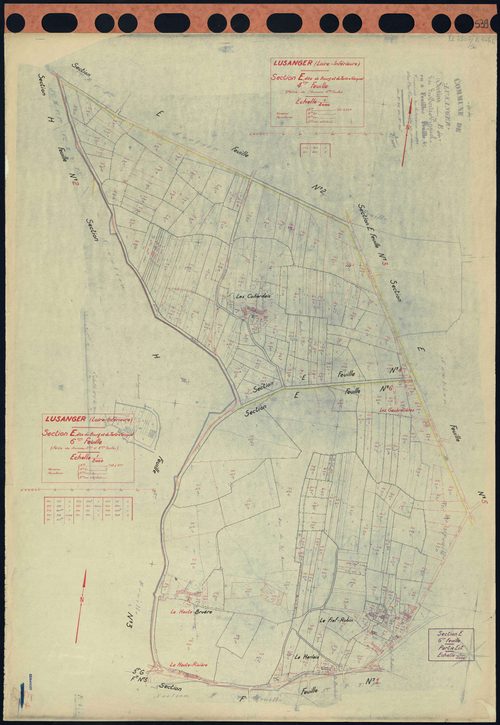
E Lusanger - Section E4 E6 Bourg et Tertre Gicquel (section du) . 561-654 . 798-977
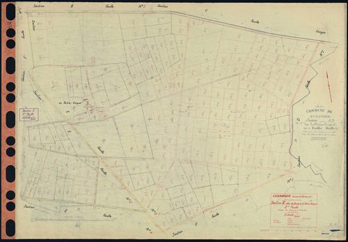
E Lusanger - Section E2 E3 Bourg et Tertre Gicquel (section du) . 181-358 . 359-560
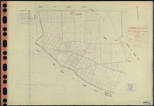
E Lusanger - Section E2 Bourg et Tertre Gicquel (section du) . 181-358
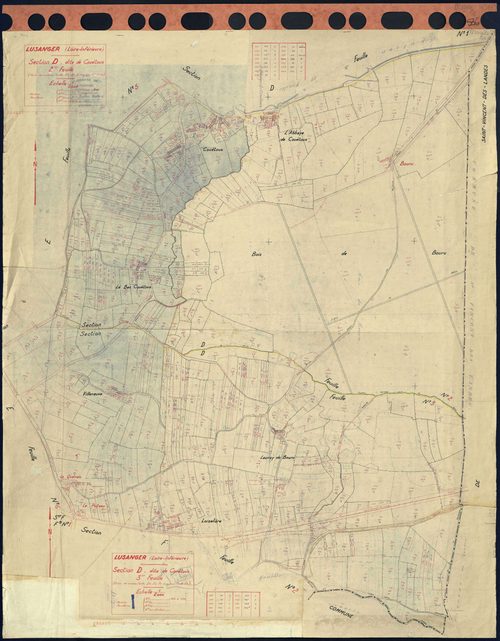
D Lusanger - Section D2 D3 Couétoux (section de) . 202-460 . 461-699
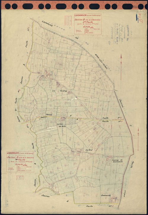
B Lusanger - Section B3 B4 Galotière (section de La) . 246-427 . 428-550
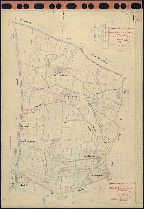
B Lusanger - Section B1 B2 Galotière (section de La) . 1-125 . 126-245
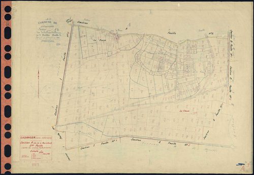
A Lusanger - Section A3 Rue du Bourg (section de La) . 440-705
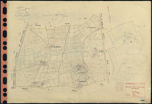
A Lusanger - Section A2 Rue du Bourg (section de La) . 109-439
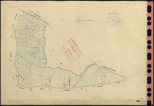
A Lusanger - Section A1 Rue du Bourg (section de La) . 1-108
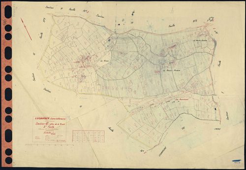
G Lusanger - Section G3 Vinois (section de La) . 223-509
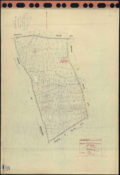
H Lusanger - Section H1 Chaussée (section de La) . 1-152
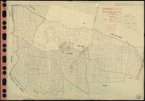
I Lusanger - Section I1 Vieux Bourg (section du) . 1-486
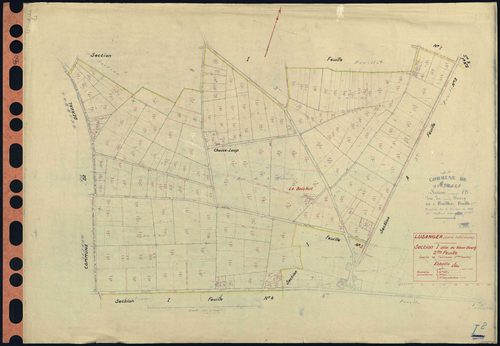
I Lusanger - Section I2 Vieux Bourg (section du) . 487-708
Qu'est-ce que le cadastre napoléonien de Lusanger ?
Le cadastre napoléonien — aussi appelé cadastre ancien ou ancien cadastre — est le premier plan parcellaire détaillé et uniforme du territoire français, institué par la loi de finances du 15 septembre 1807. Les plans de Lusanger ont été dressés au XIXᵉ siècle et constituent aujourd'hui une source incontournable pour l'histoire foncière, la généalogie et la recherche sur l'évolution du bâti et des paysages de la commune.
Que contiennent ces archives cadastrales ?
Les archives cadastrales de Lusanger présentées ici comprennent 112 documents numérisés :
- Le tableau d'assemblage : une carte d'ensemble situant toutes les sections de la commune.
- Les feuilles de section (sections A, B, C, D, E, F, G, H, I, TA) : le détail parcellaire, avec les numéros de parcelles, les chemins, les cours d'eau et les lieux-dits.
Chaque plan cadastral ancien de Lusanger est consultable gratuitement, en plein écran et en haute résolution. Vous pouvez zoomer sur chaque feuille pour lire les numéros de parcelles, puis télécharger l'image d'origine.
Comment consulter le cadastre ancien de Lusanger ?
Cliquez sur une vignette ci-dessus pour ouvrir le plan en grand : naviguez d'une feuille à l'autre, zoomez pour explorer le détail, et téléchargez la version haute définition. Pour retrouver une parcelle actuelle de Lusanger, consultez aussi le plan cadastral actuel de Lusanger. Voir également les autres communes disponibles dans le cadastre napoléonien de la Loire Atlantique.
Originaux et notices détaillées consultables sur archives.lamayenne.fr.